
Twenty-three mapped routes along a river that has carried people for ten thousand years, and one tourism director who got tired of telling visitors to launch from a stranger’s backyard.
The heron launched thirty feet in front of my bow. A mess of legs and feathers awkwardly vomiting forth from the weedy shallows. Great blue herons never look like they should be able to fly. They unfold in stages, all knees and neck untangling like a knot being released. But somehow, within moments, they’re gliding low over the water. Those enormous, slow wingbeats cut through the air with effortless beauty.
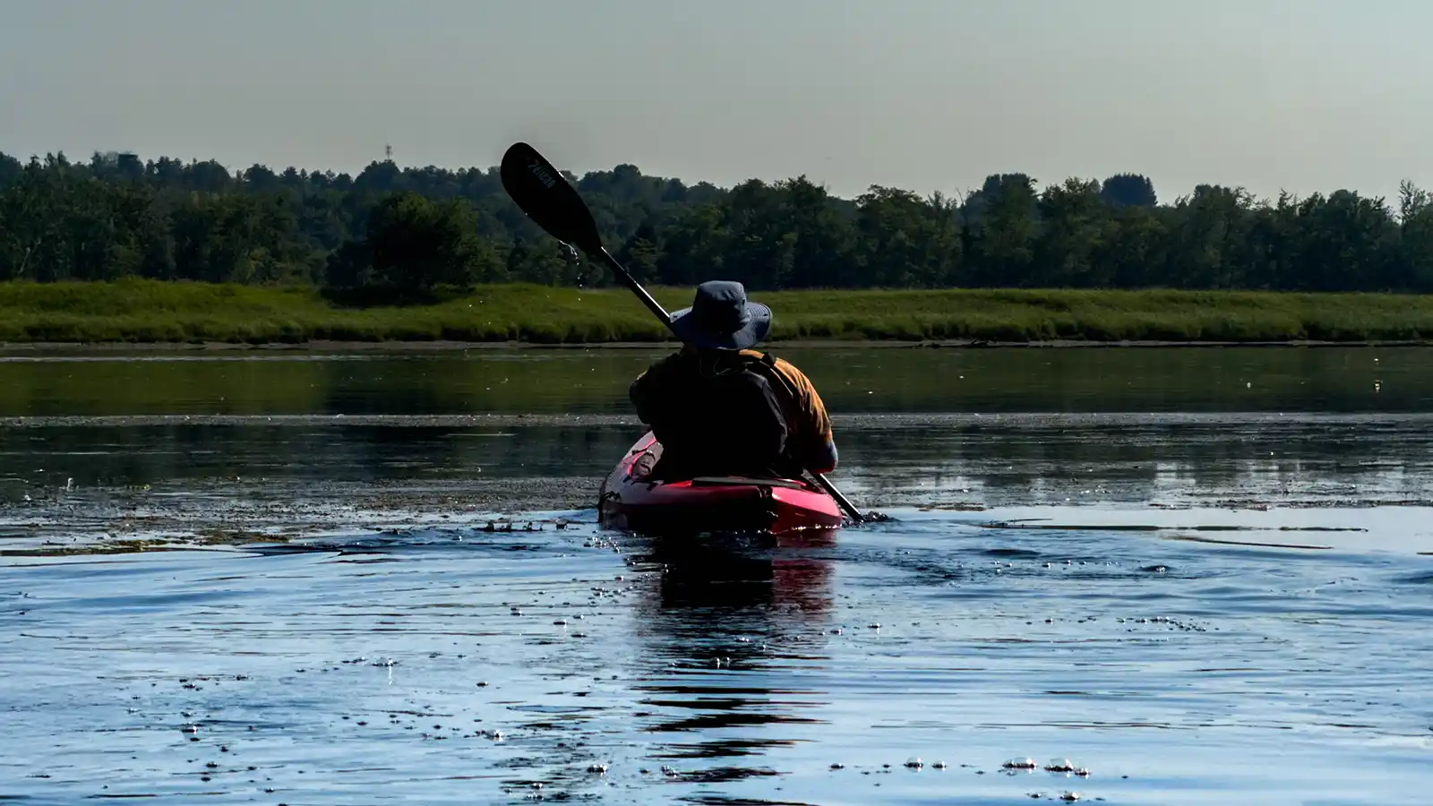
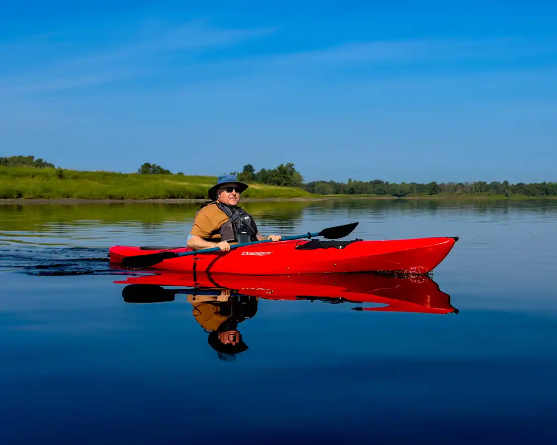
Dylan stopped paddling to watch it soar over the glassy water. So did I. So did the man floating along beside us. A man who has probably seen ten thousand of them on these very same waters. That man was David Seabrook. Seabrook, a name that sounds like it was destined for a life on the water. And he has made one for himself. After all, David was the reason that my son and I were out on the Wolastoq (Saint John River).
We’d put in upstream at Hartt Island and were working our way down the Wolastoq, a river most maps still call the Saint John, toward downtown Fredericton. It’s a strange and wonderful stretch of water. Dense green forest runs along one bank. The Fredericton skyline rises along the other. The three of us drifted with the current along the seam of those two contrasts, and over the course of a morning we counted herons, geese, ducks, several bald eagles, and enough sturgeon launching themselves clear out of the river that it stopped being a thrill and started being funny.
As our paddles broke the water’s surface in that hypnotic rhythm that only paddlers know, I snuck a peek over at David. His face had broken into a subtle smile. In his eyes was a look of accomplishment, and it was one that was well-earned. After all, he wasn’t taking us out for a cruise down a beautiful river; he was showing us the thing he’d built.
Table of Contents
“You Can’t Send Someone To Launch Their Boat From Uncle John’s Backyard”
The city of Fredericton is built around the water. The Wolastoq (Saint John River) is the reason the capital of New Brunswick is where it is in the first place. This river is a trading route that First Nations communities have been paddling for more than ten thousand years. With the arrival of Europeans, that paddling transitioned from trade to recreation, to tourism. But the city had a problem. They had all this water, countless routes, rivers, streams, and creeks, but no way to properly explain it to anyone who wanted to go exploring.
The Wolastoq watershed is vast. Rivers, streams, backwaters, lakes, and marshes spread across central New Brunswick in a network that people have been paddling for thousands of years. Locals know it intimately. They know which bend held the eagles, where the water got shallow in August, and which gravel pull-off would let you slide a canoe in without scraping the hull.
The trouble was that none of it was written down anywhere.
David Seabrook, who is both a serious paddler and the director of Fredericton Capital Region Tourism, put it perfectly in an interview with CBC. When you ask experienced local paddlers where they put in on a given river, they tell you: “Oh, Uncle John’s backyard.” And as he pointed out, the local tourism office can’t in good conscience direct a visiting family to Uncle John’s backyard.
So he pitched an idea to the tourism board and Fredericton city council: map the whole watershed properly. No more vague suggestions; instead, a detailed, usable network of routes with real launch points, real take-out points, distances, difficulty ratings, and descriptions of what you’ll see along the way.
The board and the city backed it. Communities across the region got involved, adding new and improved public launch sites in places like Oromocto, Central York, Nackawic, and Grand Lake. Signage went up. Stewardship programming came along with it. In June 2026, the Wolastoq Watershed Paddling Trails launched with 23 mapped routes, with more still being added.
This kind of project isn’t glamorous. But what it lacks in red carpet appeal, it makes up for in use. The Wolastoq Watershed Paddling Trails are a deeply useful project that has transformed tourism in Fredericton, bringing in new markets and opening up experiences in the city’s surrounding area for both locals and visitors alike.
The program didn’t build new river routes. It just finally told people where they were.
The Wolastoq – Continuing Ten Thousand Years Of Paddling
This network of paddling routes in central New Brunswick isn’t new. And that’s the point.
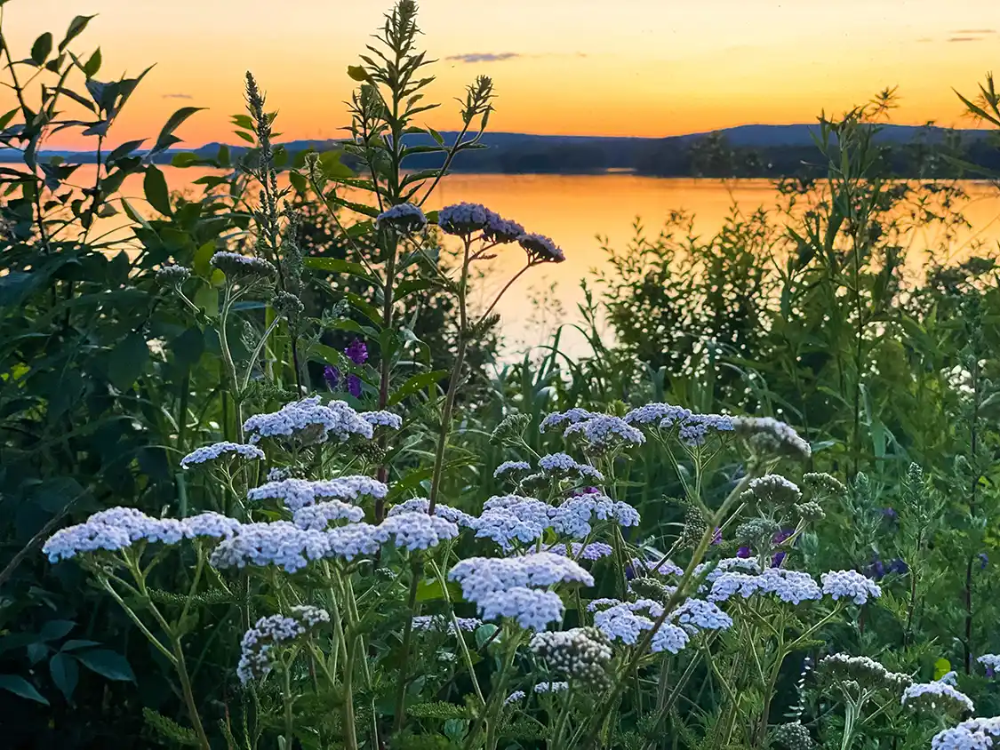
Wolastoq means “beautiful and bountiful river” in the Wolastoqey language, and the Wolastoqiyik, the ‘People of the Beautiful River’, have lived along this valley and traveled these waters for more than 10,000 years. Unlike today, this river system wasn’t used as a recreational route. They were highways. Birchbark canoes carried people, goods, and information along the Wolastoq and its tributaries, linking what is now central New Brunswick to the coastal areas near Saint John, and running north toward what became Upper and Lower Canada.
Many of the paddling routes now mapped on the paddling network follow water that Wolastoqiyik paddlers used for millennia, and continue to use to this day. When you put a rented kayak in at a municipal launch site, you’re joining a line of traffic that predates every road in the province.
The oldest surviving birchbark canoe in the world sits in Fredericton, at the Beaverbrook Art Gallery. It’s called the Grandfather Akwiten, and Wolastoqiyik craftspeople built it in the 1820s using wood from the local Acadian forests. It was taken overseas in 1825 by a British army officer and spent generations in Ireland before finally coming home in 2007. If you’re going to spend a few days paddling this watershed, go and stand in front of it first.
The paddling network’s logo, fittingly, was designed by renowned Wolastoqey artist Percy Sacobie. Some of his work can be found at the Gallery on Queen in downtown Fredericton.
Why Travel To Fredericton Just To Paddle?
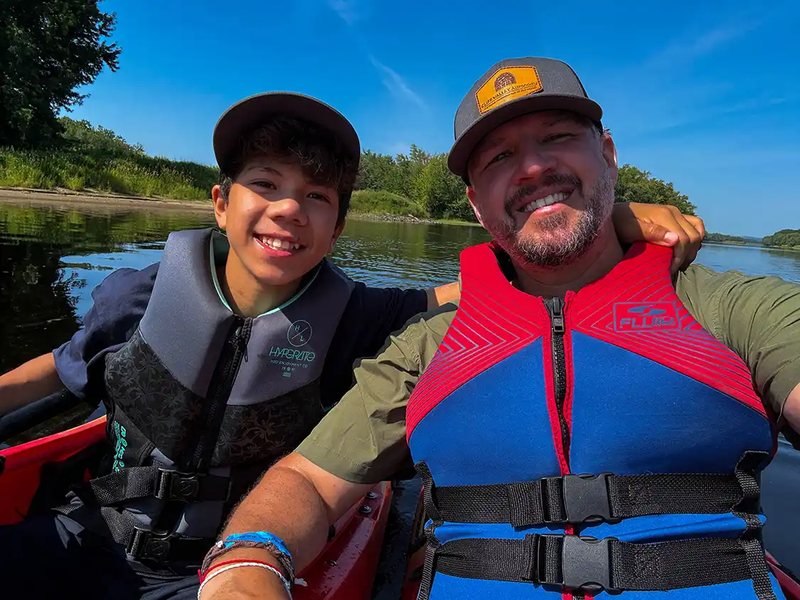
Let’s be honest here, there’s a lot to do in Fredericton beyond just paddling the Wolastoq Watershed. This is a city with an incredible art community, epic mountain biking, excellent and creative restaurants, and a fun local entertainment scene where you can catch free concerts throughout the summer (You can read my full guide on things to do in Fredericton here). But the paddling community here is booming, and the value that the Wolastoq Watershed Paddling Trails has brought is enormous, especially if you’re visiting the city.
On the Wolastoq Watershed Paddling Trails website, you can find maps of recreational day trips ranging in length from about one to six hours. You can browse by water trail or by community, sort by difficulty, and see exactly where to park, where to launch, and where to take out. Along with those useful tips, you’ll be able to see how far you’ll travel and what you’re likely to see on the way.
Some routes are out-and-back loops that return you to your car. Others are river runs that might need a second car or booking a shuttle (some of which can be booked through local outfitters like Wolastoq Adventures. The website lays out most of what you need to know before you head out. Because there’s nothing quite as fun as heading out on a cruise with the current only to find out that you have to battle your way back upstream to get back to your car. There’s a safety and etiquette section, a stewardship section, and a directory of rentals and outfitters.
The longest route on the network is part of the Canadian Heritage River Route, running 68 miles (110 km) along the Wolastoq (Saint John River) itself. It’s the outlier. Most of what’s mapped is a manageable afternoon outing. This network was built for families and casual paddlers, not for expeditions.
The Top Paddling Routes In Fredericton
The Wolastoq Watershed is far too big to cover properly in one guide. I aim to give my readers as much information as possible before they head out, but in this case, I’m not even going to try. Instead, I’m going to map out the top routes and the stretches I’ve paddled, or the ones I would go back for.
The Wolastoq (Saint John River) Through Fredericton
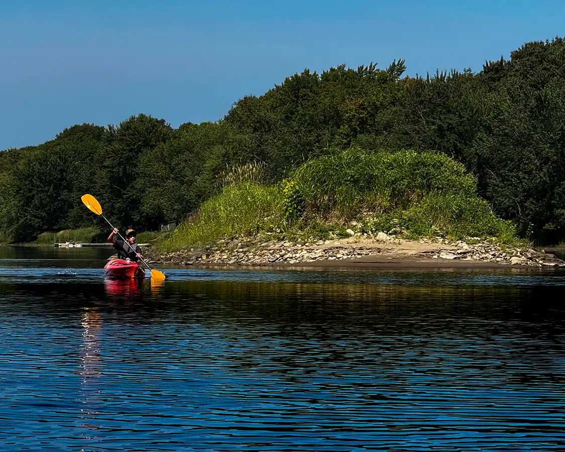
This is Fredericton’s headline paddling route, and if you’re only going to do one while you’re in the city, this is the one I’d recommend. We put in upstream at Hartt Island and paddled down toward the city. This route gave us that split-screen effect I mentioned earlier: wilderness on one bank, a provincial capital on the other, and the scenic Bill Thorpe Walking Bridge spanning between the two banks downstream.
The wildlife density, especially the birds, surprised me. Bald eagles were a constant presence, herons worked the shallows, and the sturgeon were putting on a show. There are good take-out options in the city, and you can break the paddle for a quality lunch on a waterfront patio like Drift at the Delta Fredericton Hotel, which is not something most river trips offer.
Important Note: The Wolastoq (Saint John River) is dam-controlled. The flow change can be quick, and it isn’t always predictable. Use the mapped launch and egress points, check conditions, and don’t assume today’s river is yesterday’s river.
The Nashwaak
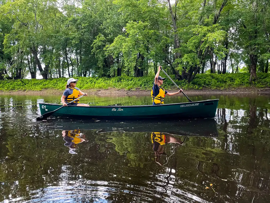
The first paddle that I ever did in Fredericton was along the Nashwaak a few years back. The Nashwaak is a small tributary whose mouth lies just south of the Bill Thorpe Walking Bridge on the north side of the Wolastoq (Saint John River). This was the paddle that helped me to realize how special the paddling was in the region.
The Nashwaak is narrower, shallower, and more intimate than the main river. I was paddling with my kids, Dylan in my canoe and Cohen in Christina’s. We were maybe an hour in when a deer broke out of the forest and moved through the trees just a few meters from the canoe, close enough that it startled us. That’s the Nashwaak. It’s the paddle for people who want to feel like they’ve left the city, without actually leaving it.
The network maps a gentle segment starting from the city-owned launch at the Marysville Heritage Centre, running down to the confluence with the Wolastoq and on to Carleton Park. It’s an easy-flowing paddle and a superb summer evening option.
The Oromocto
Twenty minutes downriver from Fredericton, the Oromocto is the one locals point to when you ask about wildlife.
The Oromocto Islands loop is calm and family-friendly, running around Thatch and Oromocto Islands from the Oromocto Boat Club. The Sunpoke Loop winds through narrow channels that put you right up against the riverbank. Neither is difficult. Both are the kind of paddle where you can go slowly and appreciate the scenery that surrounds you.
Grand Lake And The Stewart McLeod Loop
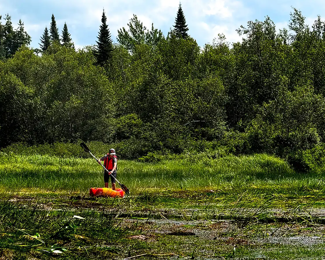
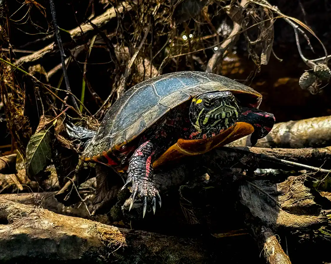
On our recent visit to Fredericton, Dylan and I drove out toward Chipman to meet local Grand Lake tourism representative Dan McLeod and his wife, Joy, to paddle the Stewart McLeod Loop. This paddling route is a marshy, wildlife-rich section of the Grand Lake area that locals have nicknamed Turtle Pond. A few strokes in, it was clear why. There were painted turtles everywhere. Grand Lake Tourism provides free kayak rentals, which is a truly excellent thing for a small community to do, and it makes the 45-minute journey from Fredericton even more special.
It did not go according to plan.
Water levels were low. The loop that should have carried us through the marshy backwaters had turned into a series of muddy shallows, and after a certain point the water simply stopped being deep enough to paddle. This did not deter my twelve-year-old, who decided that if he couldn’t paddle the kayak, he would stand on it, and spent a solid amount of time poling himself through the mud like a gondolier in Venice. He got surprisingly far, but he almost needed to be rescued.
We gave up on the loop and went to look at beaver lodges instead, which turned out to be the better afternoon anyway; we were bagged from a morning of mountain biking the nearby Minto bike trails.
Further Out: Harvey, Arcadia, And Nackawic
The Wolastoq Watershed paddling network extends well beyond the city of Fredericton, and the further you head out of the city, the less it feels like a municipal project and the more it feels like a regional one.
Harvey, about 35 minutes from downtown, sits in a landscape of seven lakes. Arcadia, covering the former villages of Gagetown and Cambridge Narrows, offers the Wolastoq and Washademoak Lake. Nackawic, 40 minutes out and home to the world’s largest axe, has a marina and river access. Each community has its own routes mapped on the network, which makes it easy to build a few days of paddling while touring the central New Brunswick region.
Wildlife On The Wolastoq Watershed
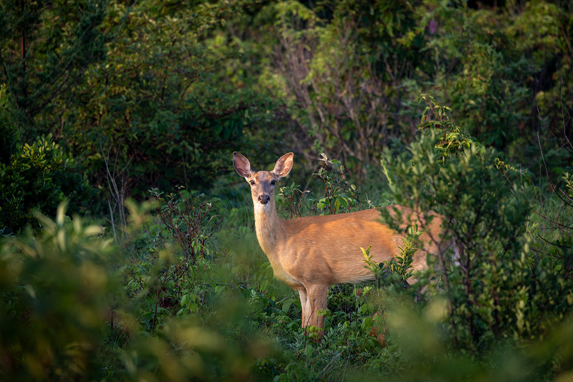
One of the things I love about paddling is that, when you’re moving quietly by canoe or kayak, you’re at eye level with the wetland ecosystem, and the Wolastoq watershed is thick with life.
Great blue herons are a reliable sight. Geese and ducks are everywhere. Ospreys work the water. White-tailed deer come down to drink and, if you’re lucky and quiet, will let you get close. Beavers, muskrat, turtles, and the occasional moose round out the list.
New Brunswick’s Bald Eagles
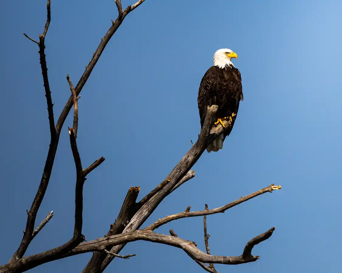
The boom of bald eagles in central New Brunswick is a conservation success story that most visitors might not even realize.
In 1980, there were roughly 12 nesting pairs of bald eagles in the entire province of New Brunswick. DDT had done to them what it did across North America, thinning eggshells until the eggs couldn’t survive incubation. By the mid-2000s, the count had climbed to 66 breeding pairs, and an aerial survey conducted jointly by New Brunswick and Maine biologists later found that number had roughly doubled again. Provincial biologists described the trend as ‘encouraging and positive,’ part of a broader recovery plan spanning the continent.
The bald eagle remains on New Brunswick’s regionally endangered list, largely because it isn’t considered at risk nationally, and most eagles here nest around exactly the kind of freshwater lakes and rivers that make up Fredericton’s paddling network.
So when one dropped out of a tree and took a fish forty feet in front of Dylan, David, and me, we made sure to explain to my son what he was looking at. Forty-odd years ago, that would never have happened. And it’s why conservation matters.
Fishing The Wolastoq Watershed
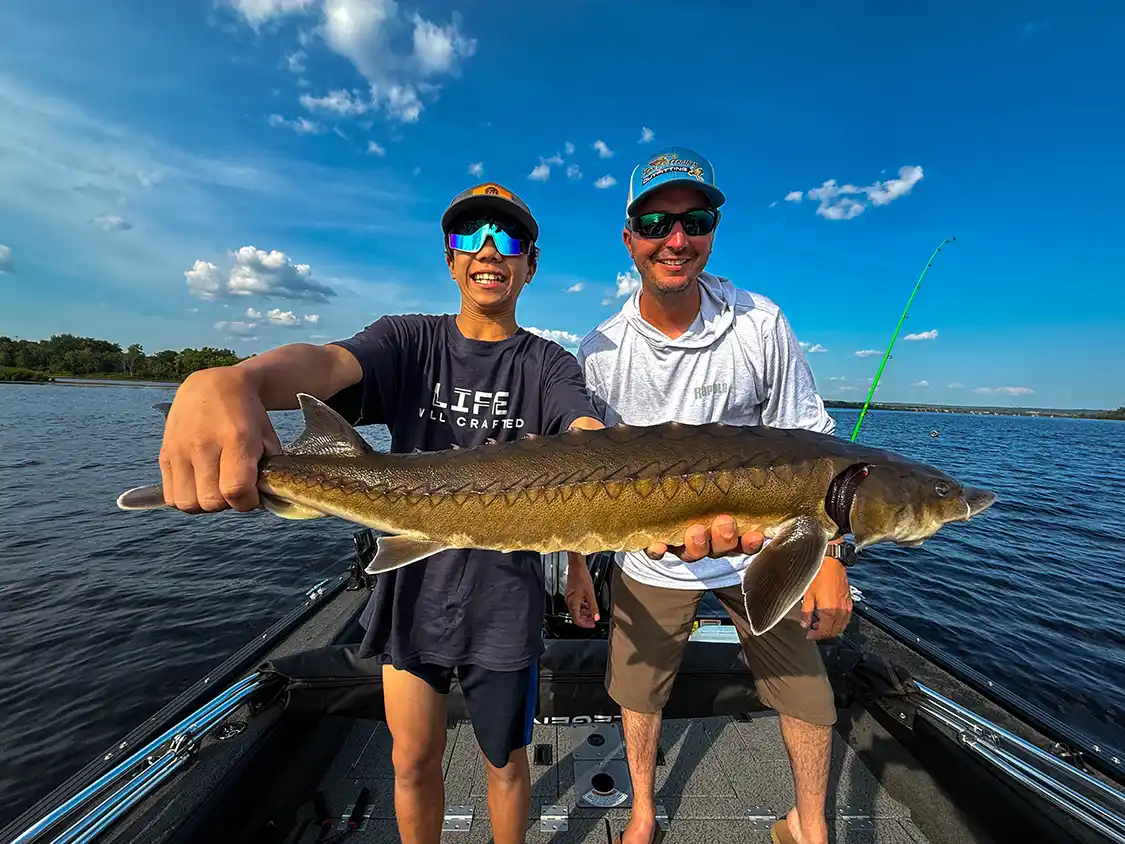
Paddling isn’t the only reason to be on this water. After we finished our paddle with David, Dylan and I met Kyle Price of Fins and Feathers Outfitting and went back out onto the Wolastoq, this time under outboard power. The stretch of river around Fredericton is, as far as anyone can tell, the only place in North America where you can fish for sturgeon, muskellunge, and striped bass without ever pulling up the anchor.
Dylan chose sturgeon. His older brother Cohen has wanted to catch one for years and was, at that moment, several provinces away near Ottawa at a summer camp and stuck, being jealous of our New Brunswick adventure. Twelve-year-olds are ruthless.
He caught three. I hooked one, got it to the boat, and lost it over the side before Dylan could get the camera up.
There’s always one that gets away.
The Wolastoq Watershed website isn’t just a great resource for paddlers; it also has information on what fish you can find in each region and some of the fishing spots where you might want to consider dropping your line.
What To Know Before You Paddle in Fredericton
- The Wolstoq (Saint John River) is dam-controlled. Flow on the main Wolastoq can be fast and changeable. Check conditions before you launch, use the mapped access points, and treat the river with the respect a body of water this size deserves.
- Water levels vary enormously by season, particularly on the marsh and tributary routes. Our Stewart McLeod attempt is the cautionary tale. A quick check before you drive out saves an afternoon.
- You don’t need your own boat. Outfitters operate throughout the region; Wolastoq Adventures sits on the Fredericton waterfront, and Grand Lake Tourism offers free rentals. The paddling network maintains a rentals and outfitters directory.
- Wear your life jacket. Bring water, sun protection, and a dry bag for your phone. The routes are rated for a reason, so start with something matched to your group’s actual ability rather than its ambition.
- Respect the landowners. A lot of this water runs past private property, and the network exists precisely so that access happens at proper public launches rather than through someone’s yard. Use the mapped ingress and egress sites.
Enjoy Paddling The Wolastoq
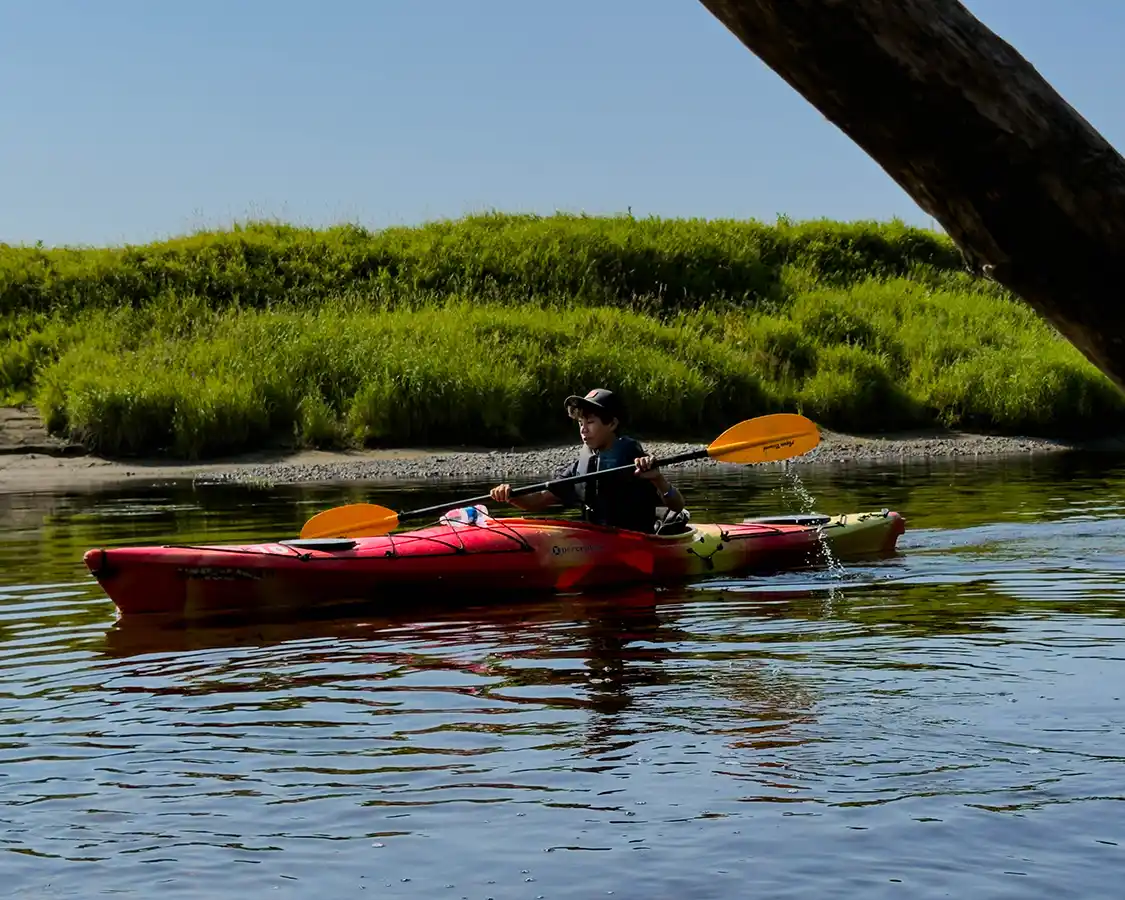
Fredericton is not a city that screams for attention. It’s the second-smallest provincial capital in Canada; it sits quietly on a bend in a very old river, and it has spent years being treated as a quick stop for those driving through to Moncton or Saint John.
But the city is far more than that, especially for those who love paddling. The Wolastoq is a watershed that people have been paddling for ten thousand years, and now has a map that tells you how to be a part of that history. You’ll find twenty-three routes and counting, sorted by difficulty, with the launch points written down and the take-outs marked, and somebody having gone to the trouble of noting where the eagles tend to be.
Start at the Wolastoq Watershed Paddling Trails website; you can find it here. Pick a route that suits your family, and go and get on the water. And if you’d like the rest of what this city has to offer, from mountain biking to sturgeon to free concerts in a 240-year-old parade square, I’ve written a complete family guide to Fredericton.
Have you paddled the Wolastoq? Drop a comment below and tell me your favorite route, or tag us on Instagram in your photos. We’d love to see them.