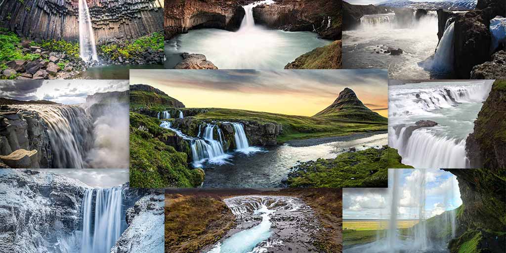
Hljóðaklettar, Iceland, also known as “Echo Rocks,” is a collection of dramatic rock formations in Jökulsárgljúfur Canyon in Vatnajokull National Park.
Some stick out from the ground at seemingly impossible angles, and others make it look as though the earth is folding in on itself. These are the rock formations of Hljóðaklettarr in Vatnajokull National Park in Iceland.
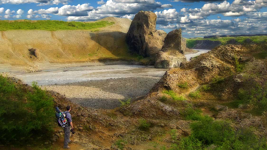
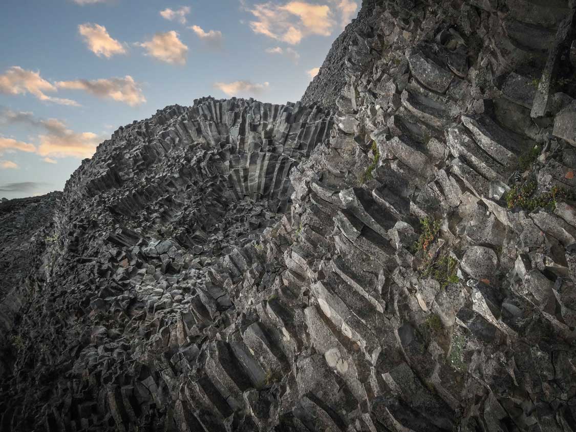
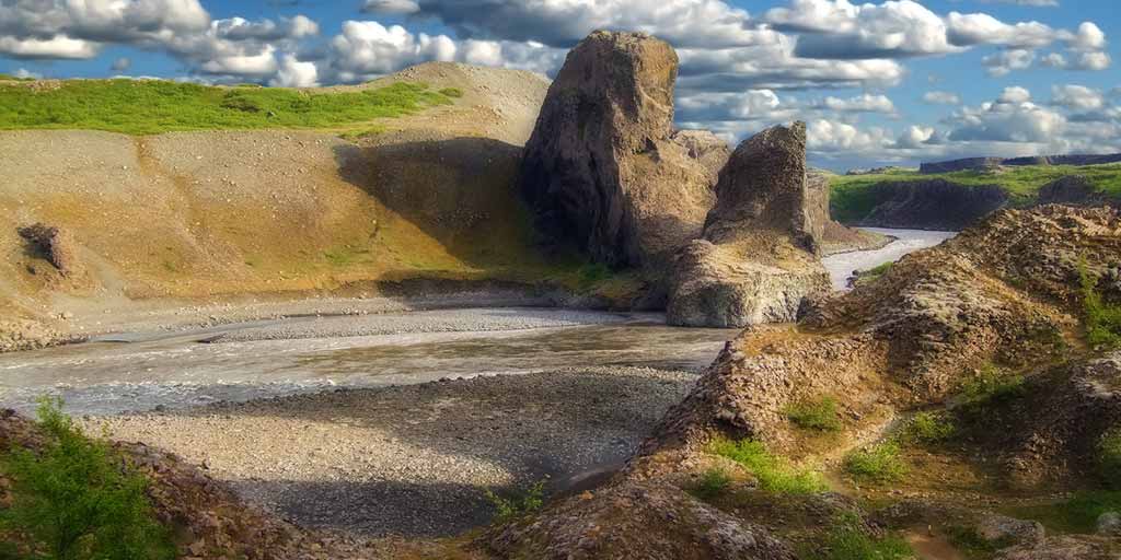
Among the most fascinating places to visit in Iceland, Hljóðaklettar was one of the highlights of our 14-day road trip through the country. These fascinating rock formations, located within and adjacent to the Jökulsá á Fjöllum glacial river, are the remains of an ancient row of volcanic craters. Over the past 9,000 years, these volcanic remains have been shaped and formed by the strong currents of the melting waters of Icelandic glaciers.
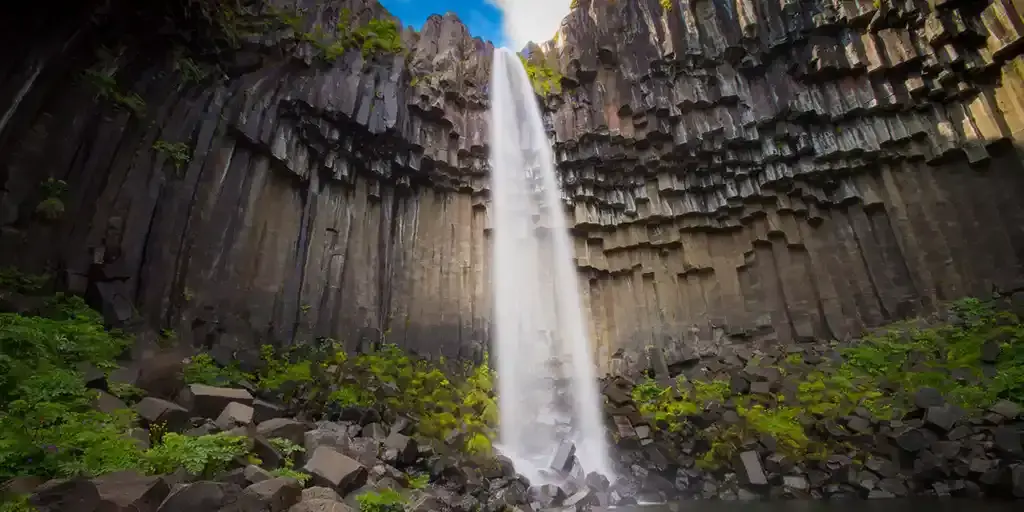
Jökulsá á Fjöllum is the second-longest river in Iceland. The waters, fed from the Vatnajökull glacier in Vatnajökull National Park, contain some of the most notable waterfalls in Iceland, such as Dettifoss.
Dubbed Hljodaklettar, or “Echo Rocks” due to the sound of the river water that bounces off the many caves and rock formations throughout Hljodaklettar, this fascinating area of Iceland is among the coolest and most overlooked attractions in the country.
What To See In Hljóðaklettar, Iceland
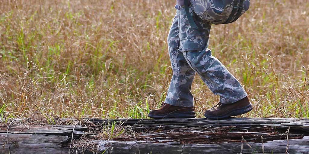
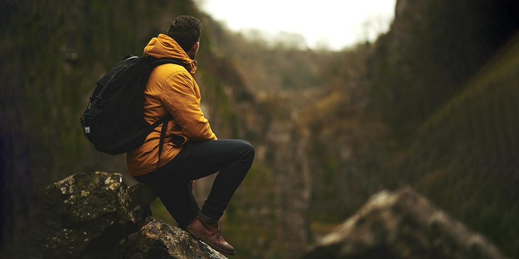
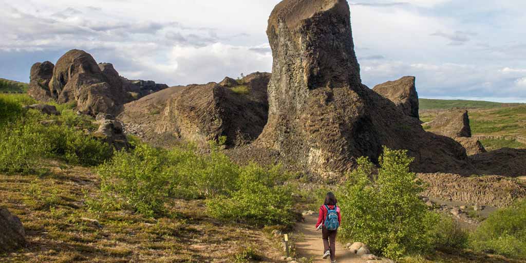
Accessing the rock formations at Hljóðaklettar is quite easy. In fact, with wide paths, it’s among my favorite places for family-friendly hikes in Iceland. A short hike will lead you from the parking to an awe-inspiring collection of volcanic plugs and rock formations that contain a wide array of caves and towering stones.
The formations at Echo Rocks are so amazing that they’ve all been given names that add to their character. The Castle, the Church, the Shadow, and the Troll are just a few of the named rock features. Hljóðaklettar is small enough that most visitors should have a chance to see them all in just a couple of hours.
There are a few of the Hljóðaklettar formations that you shouldn’t miss while visiting.
The Troll
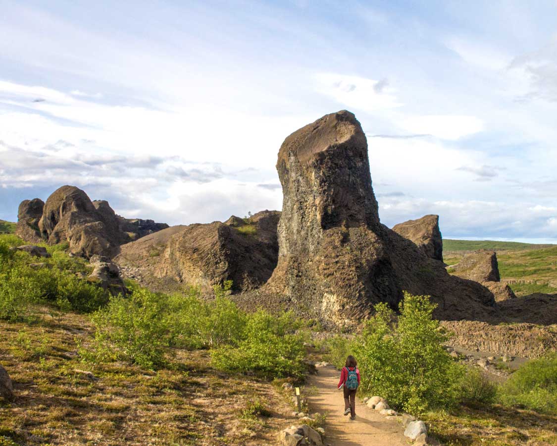
It’s not hard to find rocks named for trolls in Iceland. These mythical creatures are an important part of Norse mythology. Even now, some Icelandic people believe these creatures exist deep within the country’s mountains.
Like many of those rocks, the story of the Troll in Hljóðaklettar goes that it was a mythical giant who failed to return to his cave before the sun rose. Because trolls cannot tolerate the daylight, he was turned to stone.
It takes about a half-kilometer to reach the Troll. You can loop back to the parking lot from here or continue to see more of the formations.
The Church
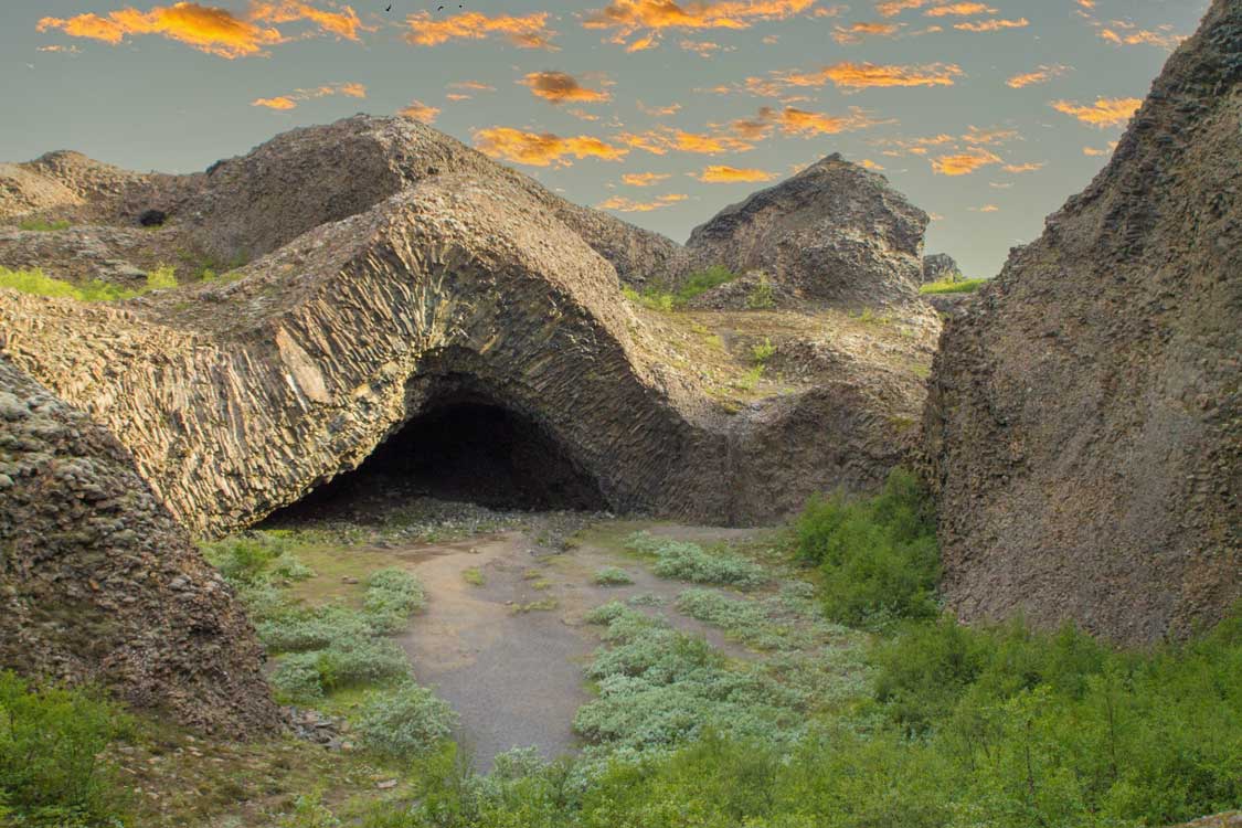
One of my personal favorite formations in Hljóðaklettar lies along the circular hike. This 3 km route is one of the more challenging hikes in Hljóðaklettar, but tremendously rewarding.
The Church branches out from the Troll and continues to include the Church. This stunning feature is the largest cave in Hljóðaklettar. The wave the rock morphs upwards gives the impression that the land dramatically folded up into a symmetrical arch.
The Church is so large that you can walk right inside it.
Red Hills
I was visiting Iceland with my kids and had my one-year-old with me, so I didn’t get the chance to hike out to Red Hills in Hljóðaklettar. The area has been described to me as similar in landscape to Landmannalaugar in the Icelandic Highlands.
The striking red color of the ground comes from the ample amounts of iron in the soil. The 5 km route that takes you there treks up along an extinct volcano. While access to the volcanic cone is off-limits, gorgeous red pillars offer a striking backdrop for photos.
This area gives you the best example of how the landscape of Hljóðaklettar would have appeared prior to the flood that washed away much of the eroded stone and dirt from the landscape.
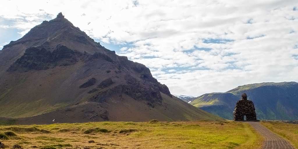
Langavatnshöfði Cape
A new addition to the hiking trails at Hljóðaklettar is an observation platform that has been installed at Langavatnshöfði Cape. This stunning overlook offers what is, in my opinion, one of the most dramatic views along the Jökulsá á Fjöllum River.
The viewpoint can be accessed via a short walk from a new parking lot that has been added. This means those not looking for a day of hiking can get some of the best views with little effort.
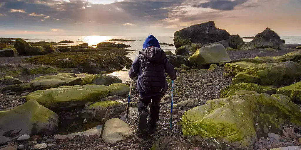
Family Hiking Tips, Guides, and Inspiration
Looking for more great family hiking tips, inspiration, and gear guides from those who have hit countless trails around the world? Check out these other articles on Wandering Wagars – Adventure Family Travel.
How To Get To Hljóðaklettar
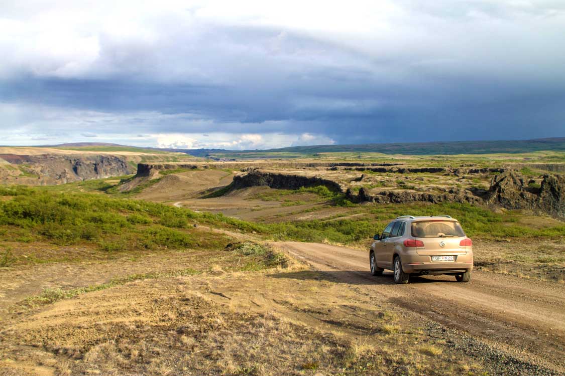
If you’re wondering how to get to Hljóðaklettar, it’s a relatively easy journey. Hljóðaklettar is about two hours east of Akureyri, just off RTE 862. You’ll see a sign for it on the West side of the highway.
From the Ring Road, HWY 1, you’ll need to turn north (left from Akureyri, right from Eglisstadir) and drive about one hour along RTE 862 to RTE 888. This gravel road will veer steeply into the scenic Vesturdalur Valley, straight to the Hljóðaklettar parking lot.
Hljóðaklettar is part of northern Iceland’s beautiful Diamond Circle drive, the northern equivalent of the Golden Circle near the capital of Reykjavik.
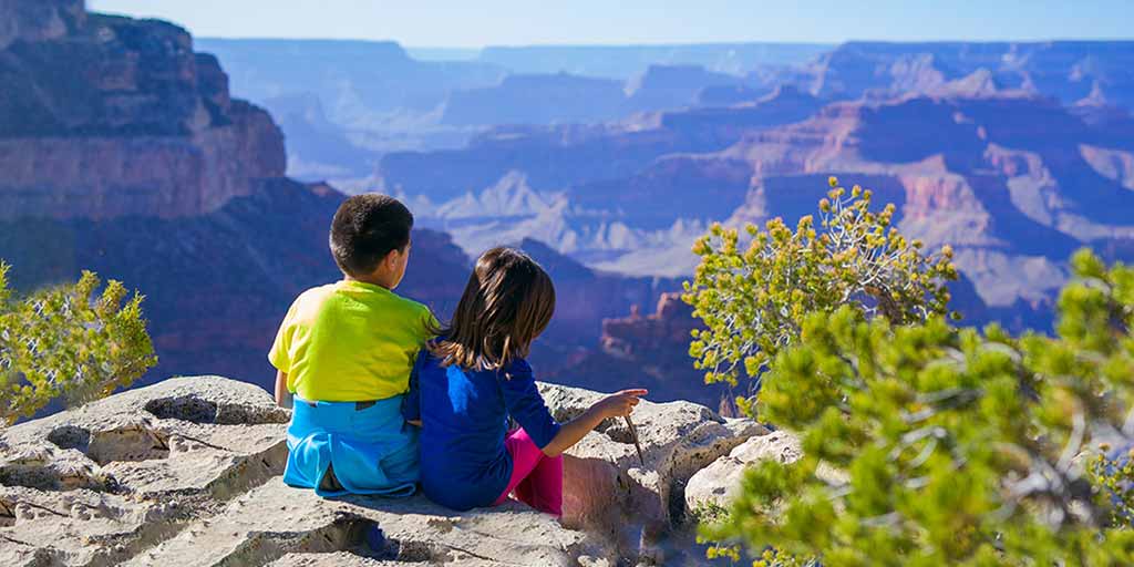
Travel Resources For Families Visiting Iceland
For practical planning, safety considerations, and logistics, these dedicated guides provide all of the resources you need for family travel in Iceland.
.
.